

Compare and book 3 Star hotels in Alton, Utah
 Change your mindBook hotels with free cancellation
 Be pickySearch almost a million properties worldwide
Check availability on Alton 3 Star Hotels
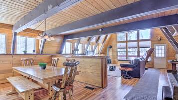
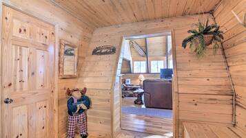
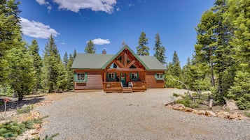
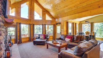
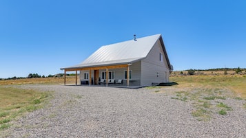
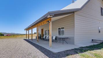
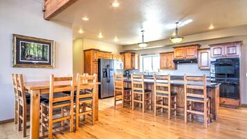
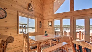
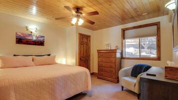
Our top choices for Alton 3-star hotels


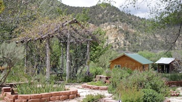
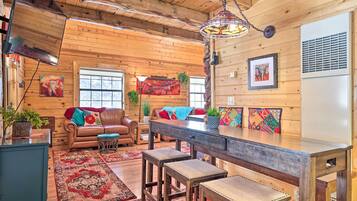
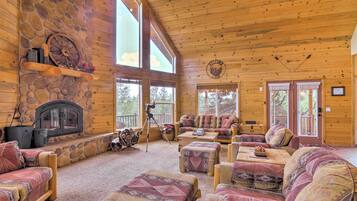
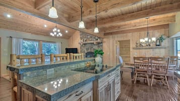
9.2 out of 10, Wonderful, (529 reviews)
"Beautiful setting and outdoor spaces for relaxing."

Diane
The price is 2.883.356 ₫
3.284.633 ₫ total
includes taxes & fees
4 Aug - 5 Aug


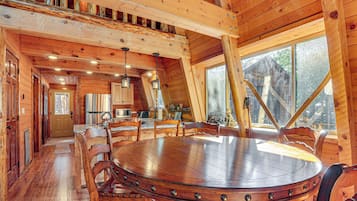
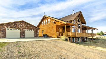
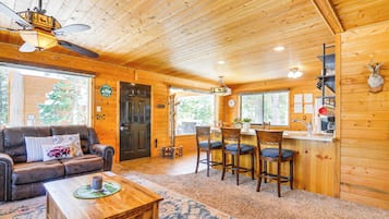
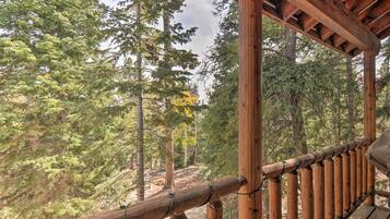
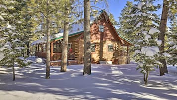
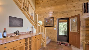
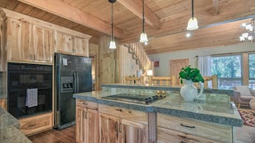
9.4 out of 10, Exceptional, (175 reviews)
"It’s between Bryce national park and Zion national park but there it is in the middle of the Dixie national forest. There is a lot of stuff to donnewrby"
Daniel
The price is 5.096.165 ₫
5.984.679 ₫ total
includes taxes & fees
31 Aug - 1 Sept

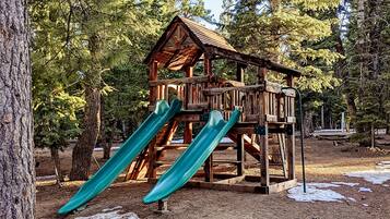


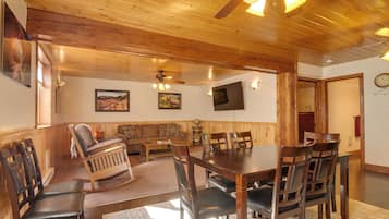
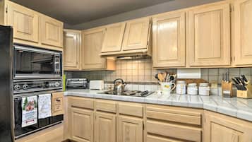
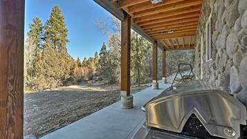
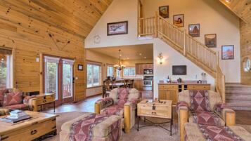
7.8 out of 10, Good, (319 reviews)
"We loved our stay. We will be staying again. "
Rebecca


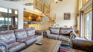
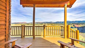
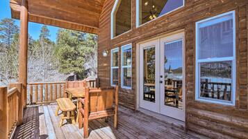
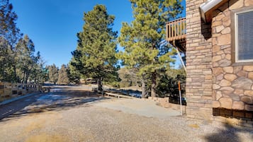
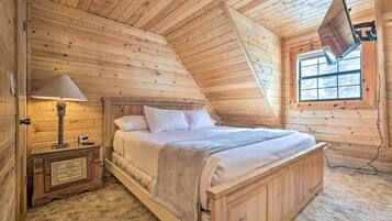
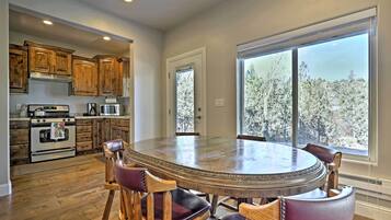
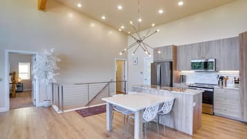
9.6 out of 10, Exceptional, (91 reviews)
"We loved our stay! The cabin was well maintained and very relaxing."
Mindi
The price is 3.796.879 ₫
5.414.872 ₫ total
includes taxes & fees
7 Aug - 8 Aug

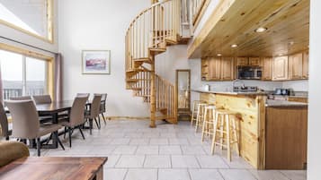

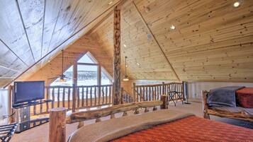
9.4 out of 10, Exceptional, (98 reviews)
"Clean, quiet area, comfortable and cozy "
Andrea
The price is 5.656.270 ₫
10.395.861 ₫ total
includes taxes & fees
9 Aug - 10 Aug


7. Spacious Duck Creek Village Cabin w/ Hot Tub!
Spacious Duck Creek Village Cabin w/ Hot Tub!Duck Creek Village


8. Duck Creek Village Cabin w/ Deck & Private Hot Tub
Duck Creek Village Cabin w/ Deck & Private Hot TubDuck Creek Village
10.0 out of 10, Exceptional, (1 review)
"Lance, our host with LKChalet, communicated great before and after our stay ensuring everything was ready. When I asked if there was an iron and ironing board so we could touch up clothes for a wedding he went out and got one so it was there when we arrived. The welcome basket was an added bonus. Being the first guests at the LKChalet and this being our first trip in something other than a hotel couldn’t have gone better. The location, accommodations, surroundings, and host service made this...
Richard


Save an average of 15% on thousands of hotels when you're signed in
Explore similar 4-star hotels
Many 4-star hotels have the same amenities as 3-star hotels. See all 4-star hotels in Alton.

The Lookout at Sevier River
152 East Carol's Lane Hatch UT
10/10 Exceptional! (12 reviews)


Still don't see what you're looking for?
See all properties in Alton.
You can also use these popular filters to refine your search.
Lowest nightly price found within the past 24 hours based on a 1 night stay for 2 adults. Prices and availability subject to change. Additional terms may apply.
Learn more about Alton
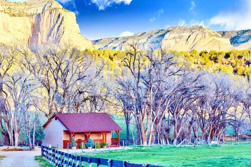
Nestled near the stunning Dixie National Forest, this tiny town offers hikers access to Red Hollow Canyon Trailhead and Mammoth Cave. Explore the natural wonders of Bryce Natural Bridge and Fairview Point, where southern Utah's remarkable landscapes unfold in every direction.

Photo by Eric & Kristy's Adventures
Open Photo by Eric & Kristy's Adventures
Top Alton Hotel Reviews
Arrowhead Country Cabins
10/10 Excellent
Historic Smith Hotel B&B
10/10 Excellent